Watershed Group
Thornapple River Watershed Council
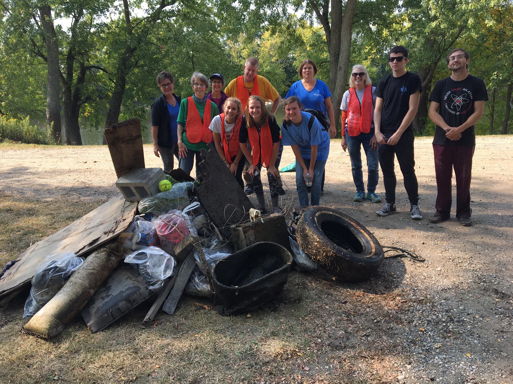
Mission Statement: To protect, preserve and enhance the quality, aesthetic and recreational value of the Thornapple River Watershed through education, planning and management.

click to enlarge
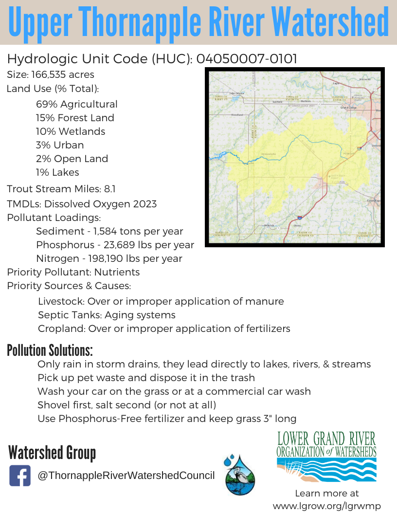
Upper Thornapple River Watershed – HUC Code: 04050007-0101
Lower Thornapple River Watershed – HUC Code: 04050007-0211, -0402, -0404, -0405, -0406, -0407, -0408
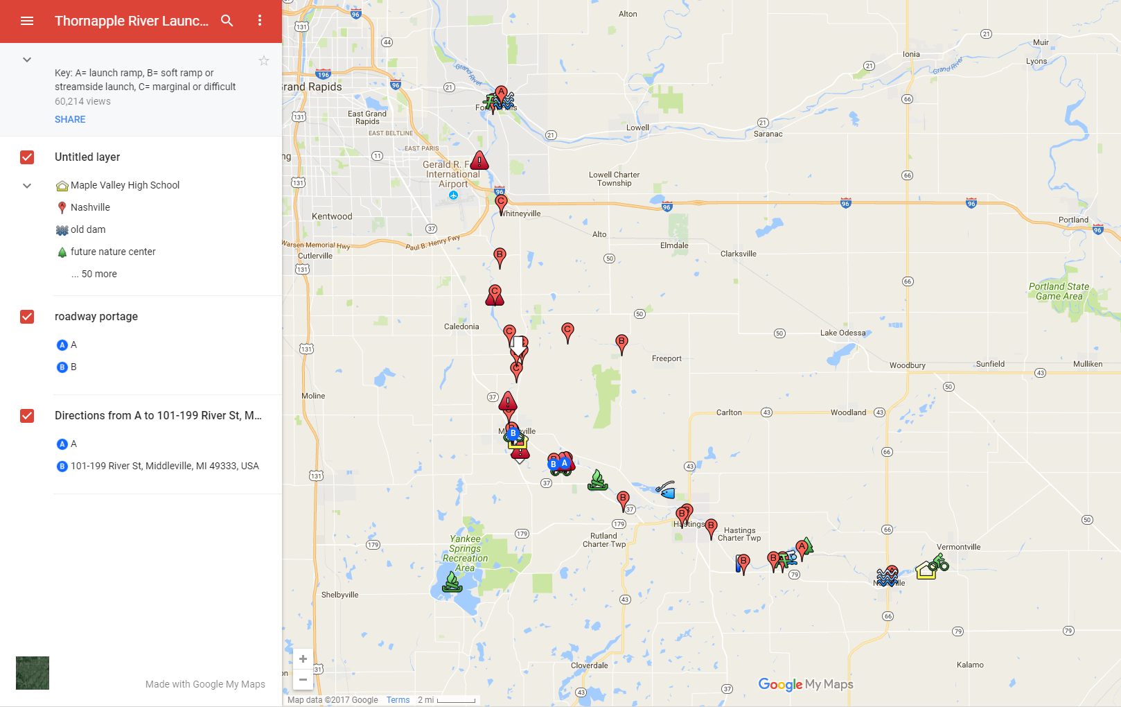
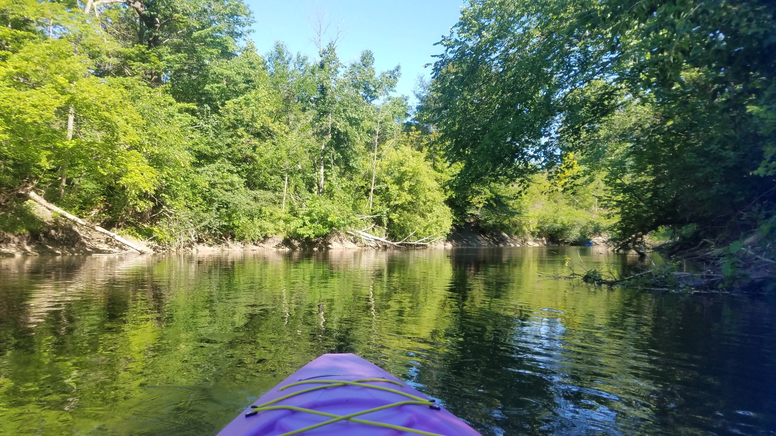
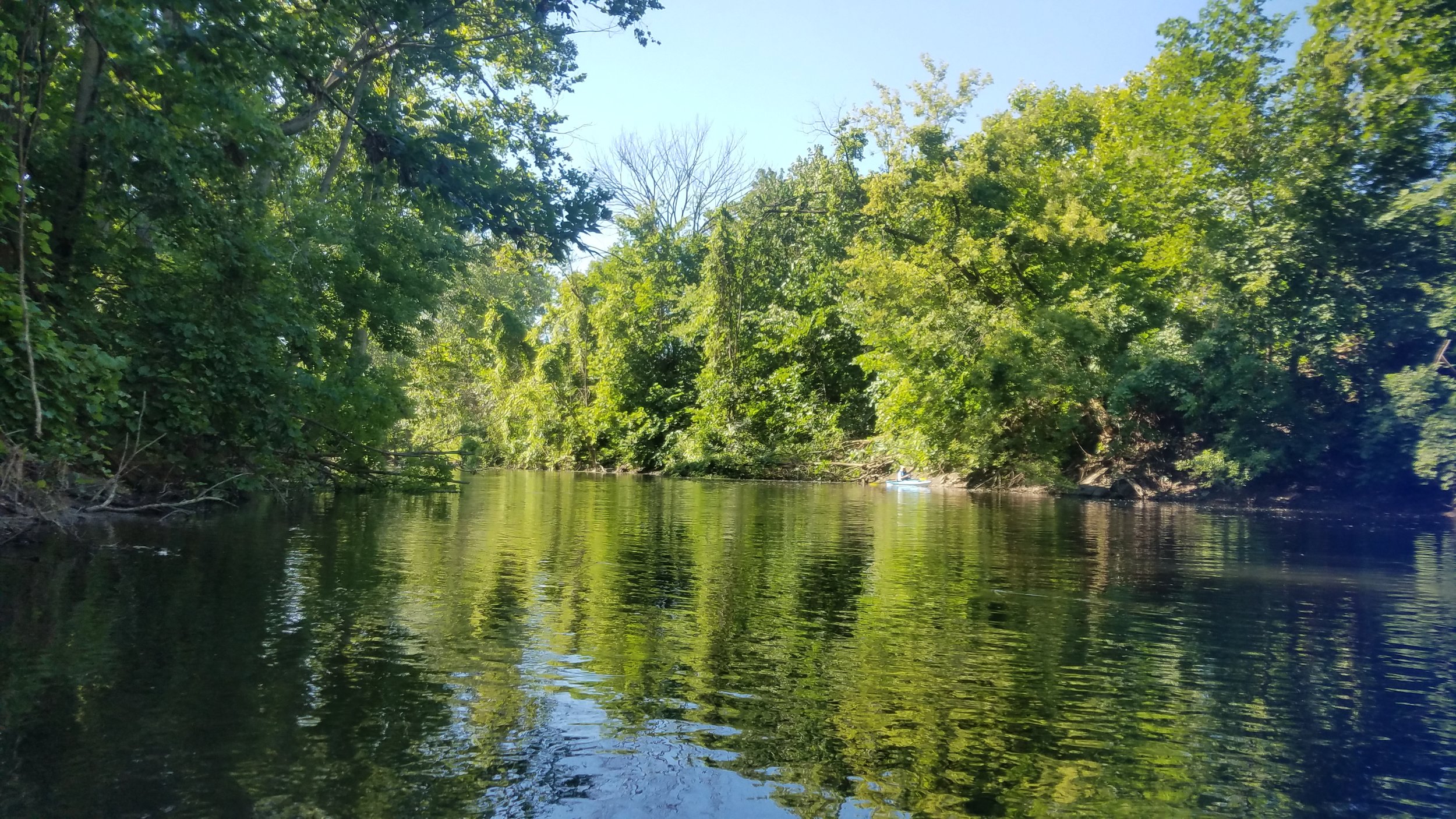
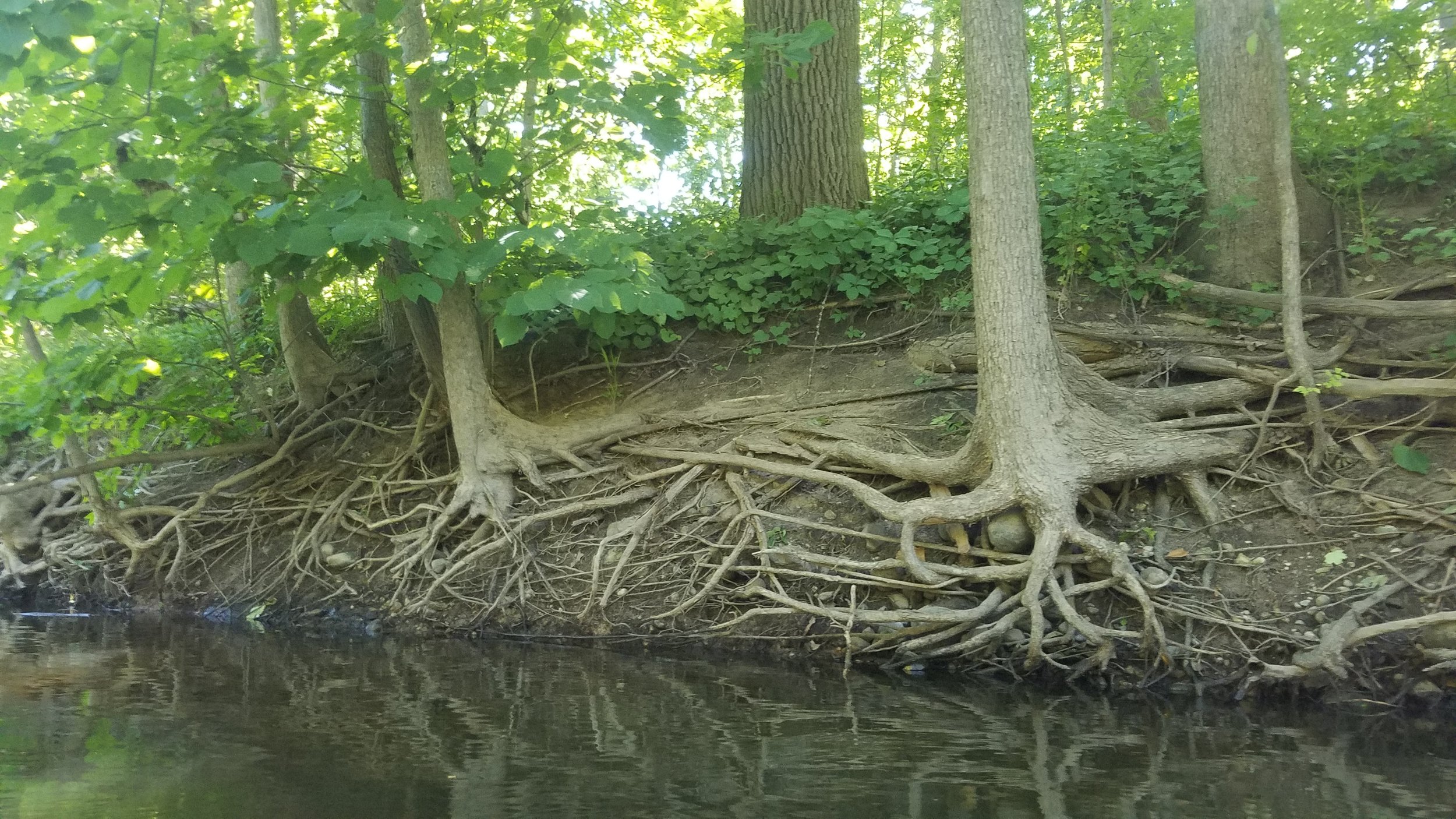
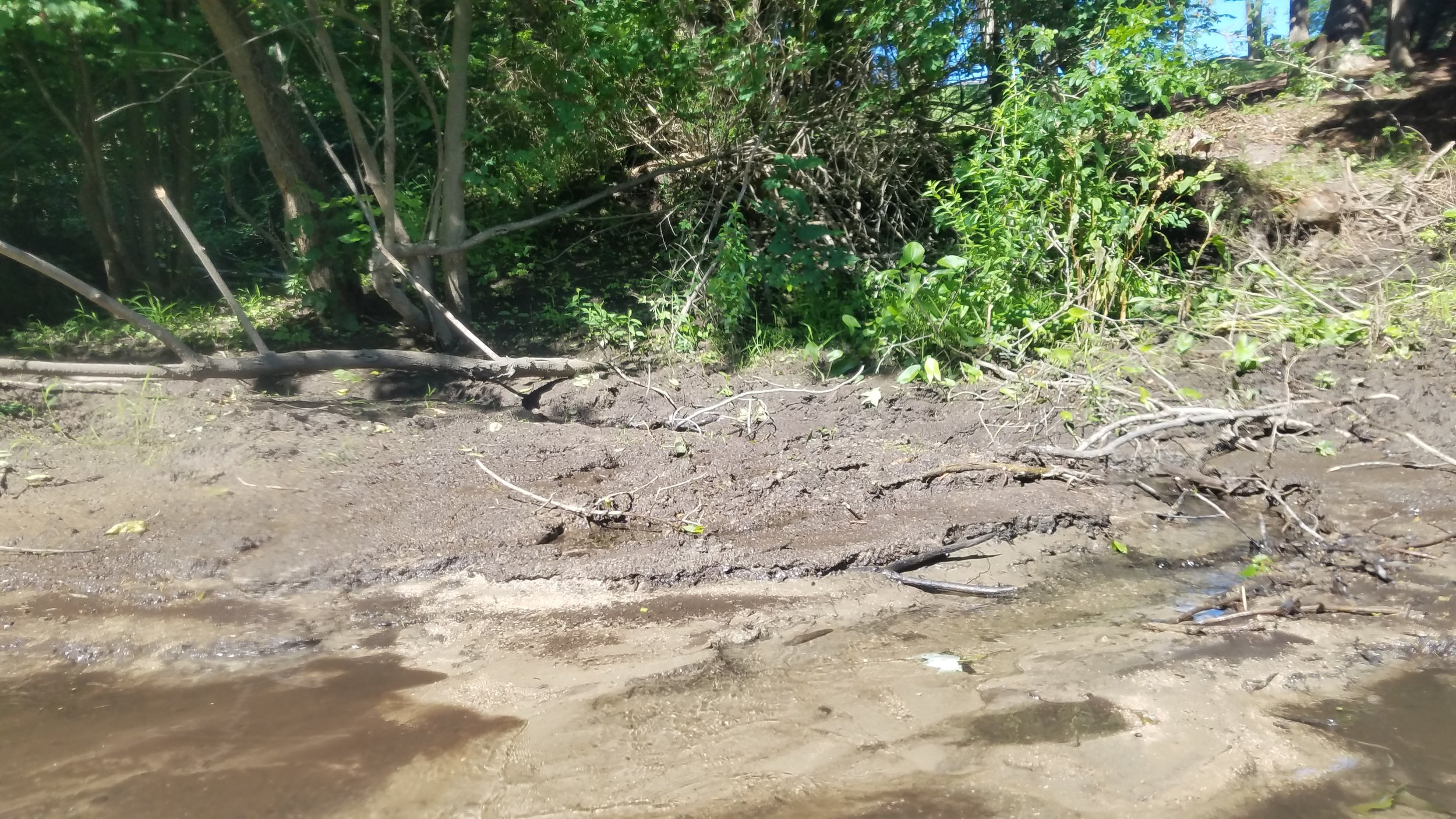
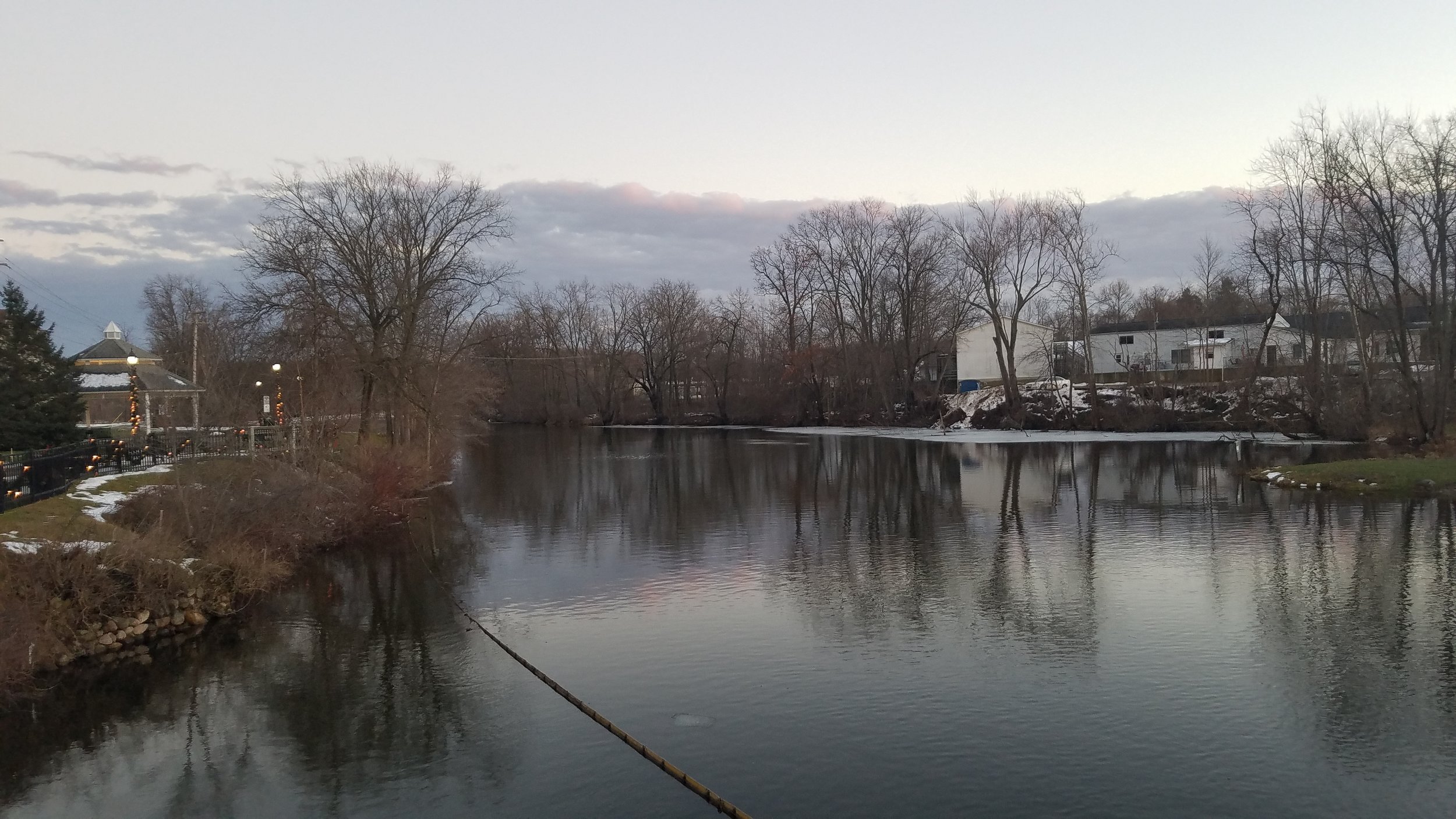
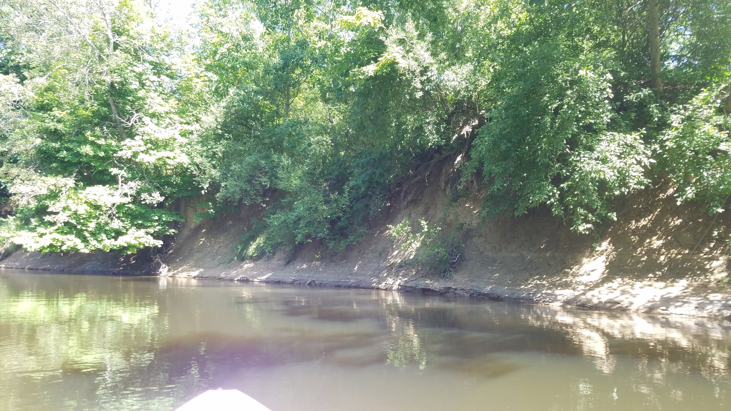
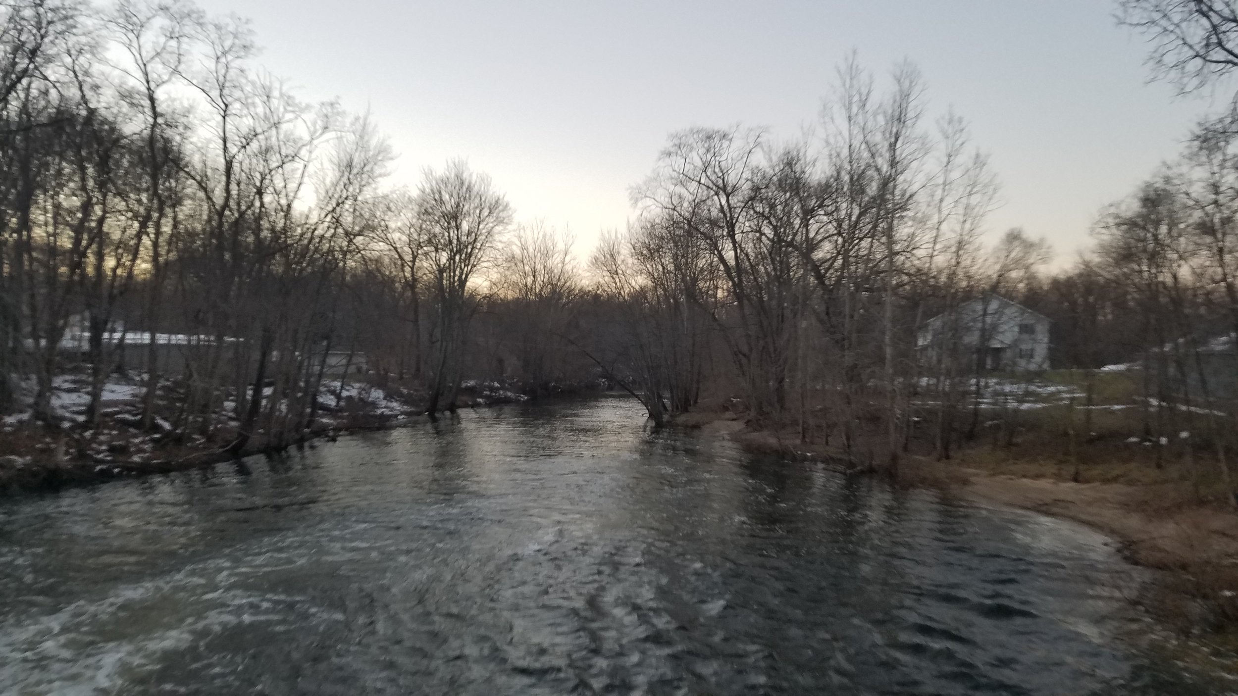
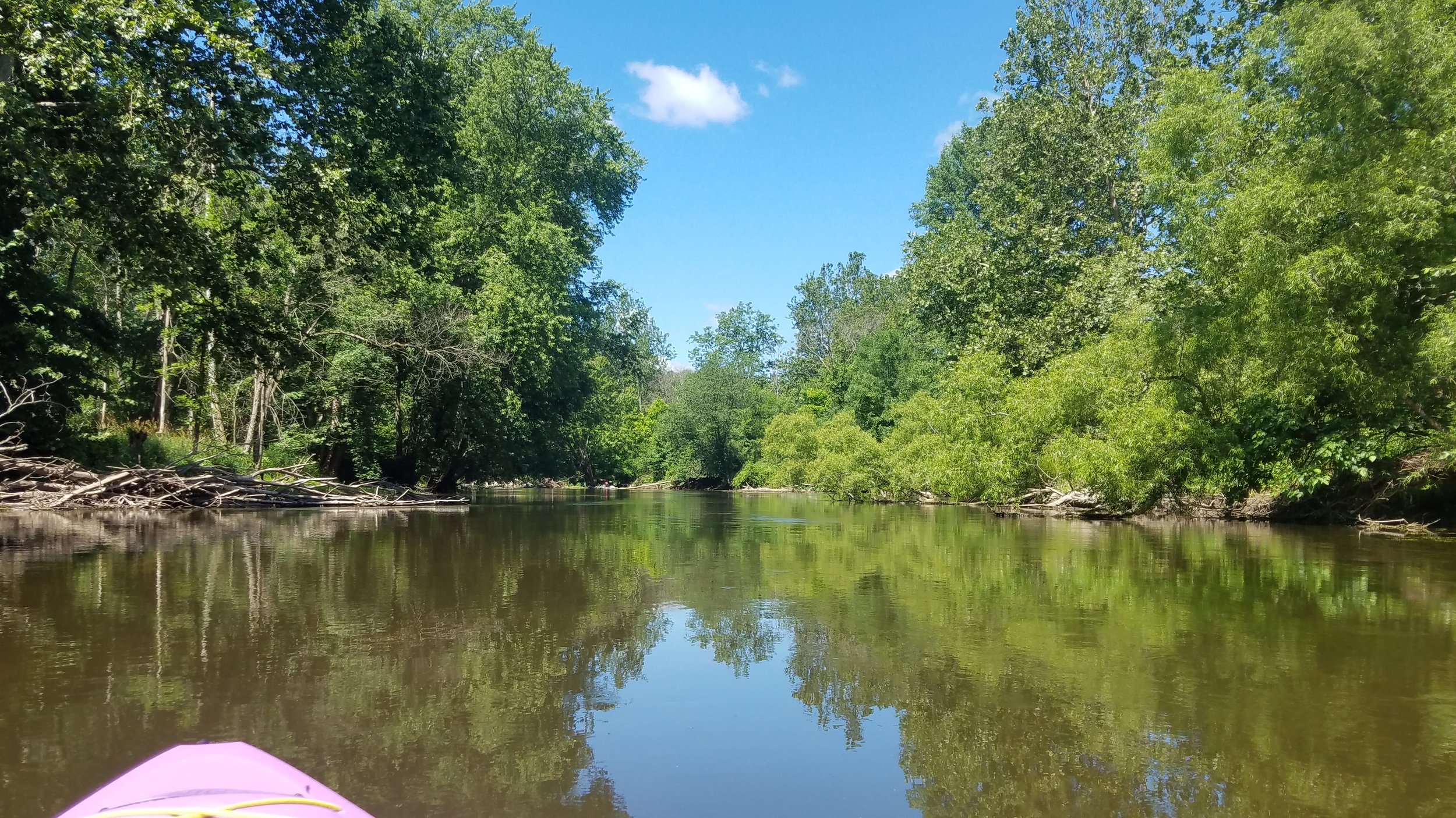
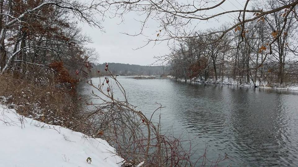
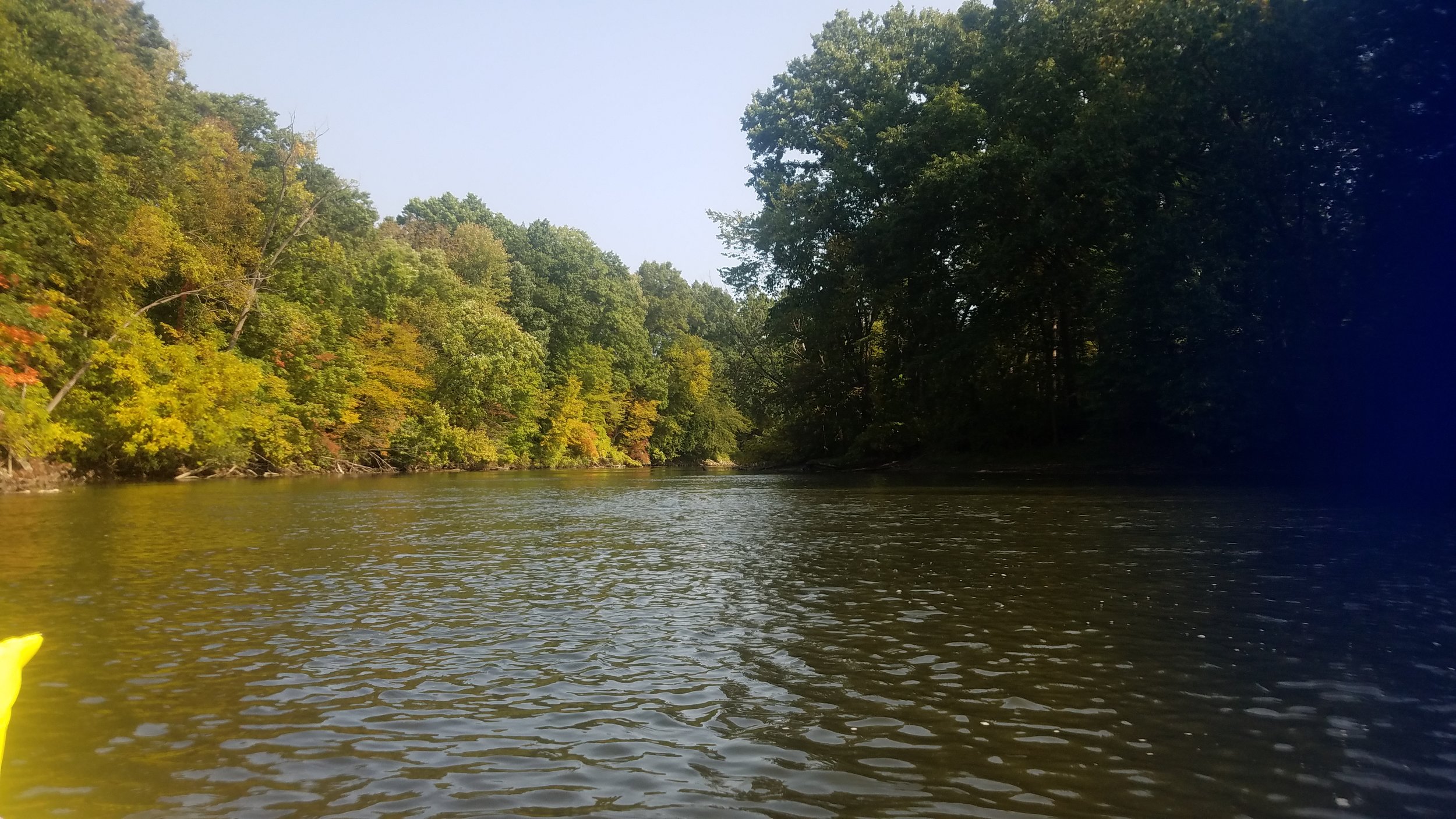
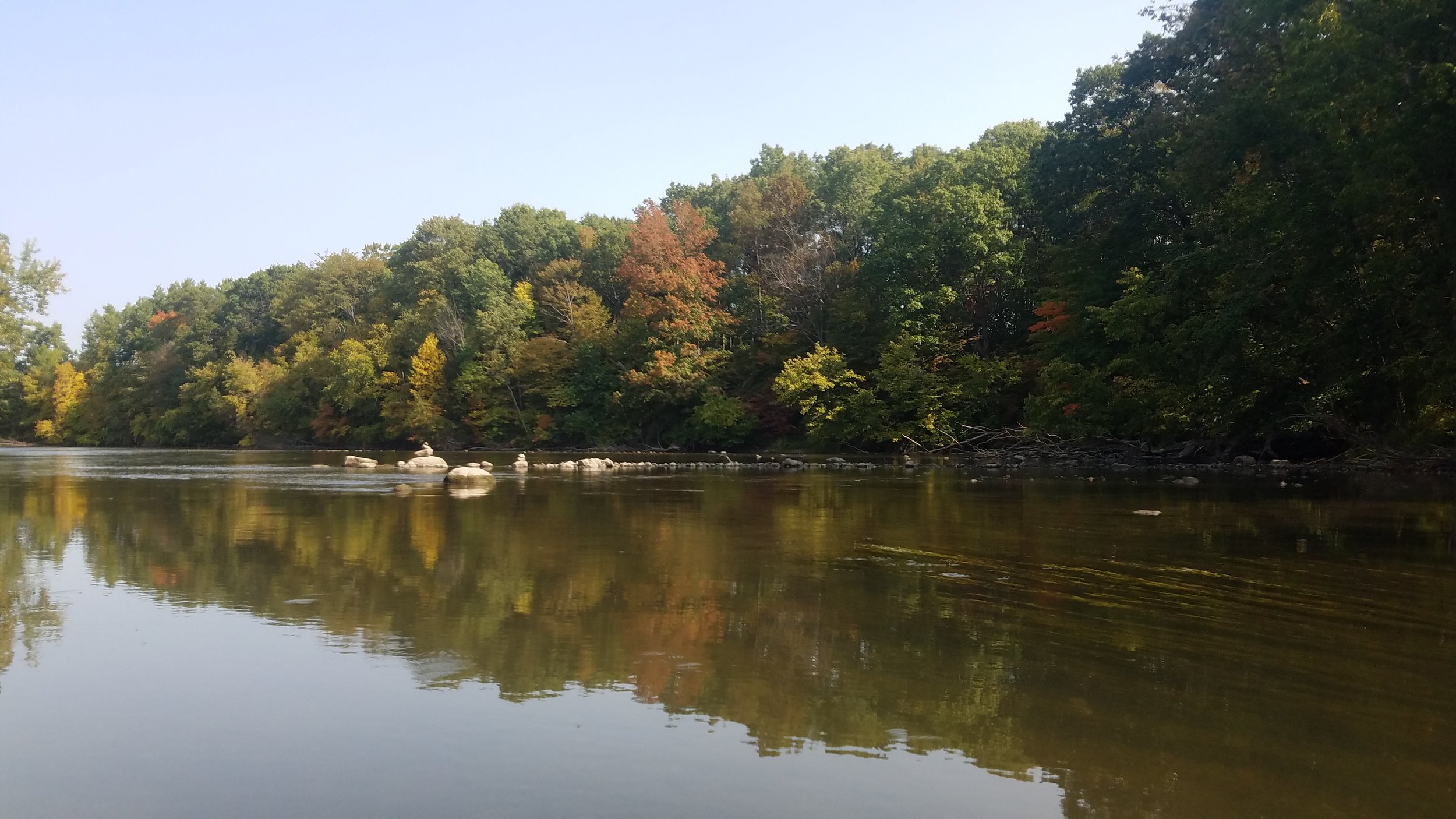
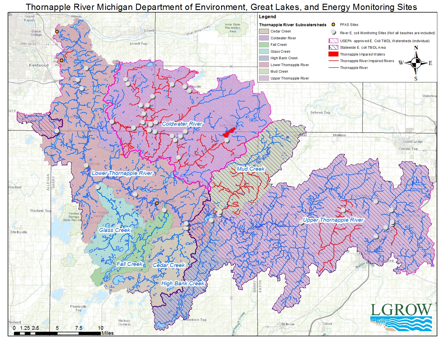
Size and Location The Thornapple River Watershed (TRW) is the largest subbasin of the Lower Grand River Watershed, and is located in the southwestern portion of Lower Michigan. The Thornapple River Watershed planning area extends from Potterville, Michigan, westward to the western portion of Barry County, then north to its confluence with the Grand River in Ada. The planning area covers all of the Thornapple River Watershed’s subwatersheds, excepting the Coldwater River Watershed, which has its own management plan. The TRW planning area includes 24 subwatersheds and nine designated trout streams. According to the most recent IFMAP land cover data, land use within the watershed is 52.1% agricultural production, 25.8% forested, 12.9% other non-production vegetation, 3.3% paved road or airport, 2.1% low to high density urban, 1.5% water and 1.5% wetland. Urbanizing areas include the M-37 corridor north of Middleville and the M-69 corridor between Potterville and Charlotte. The Thornapple River and its many lakes provide recreation for local residents and tourists alike and are important features in both the rural and urbanizing communities.
Read the subwatershed summary here (Lower) and here (Upper).