While thought to be of high quality, the Flat River has not been thoroughly monitored until 2012 through the Flat River Monitoring Project. The results found that some of the Flat River tributaries, such as West Branch Creek and Butternut Creek, can support trout and other cold-water species. However, some streams have lost their ability to function as cold water fisheries such as Dickerson Creek, indicating a need to thermally reclassify some of the Flat River’s tributaries.
Also mentioned in the 2012 monitoring report, E.coli is the greatest concern to the Flat River Watershed. Noted as early as 1966, the Flat River has had issues with improper sewage disposal and inhibited ecosystem function; additionally, documented cases of thick mats of vegetation indicate unsavory conditions to wildlife and fishermen alike. E.coli has been documented in Lincoln Lake and is thought to be more widespread than ever suspected. Because of the health risk and threat to water quality, E.coli testing needs to be conducted over a period of time and potential sources of the E.coli need to be identified and controlled. Issues of overabundance of nutrients (nitrates and phosphorus) and sedimentation within the watershed must also be investigated. Ultimately, the Flat River Watershed will be managed in order to ensure ecosystem function, promote healthy fisheries and biotic communities, and provide safe recreation by finding and eliminating sources of E.coli.
Documents
Watershed Management Plan 2016
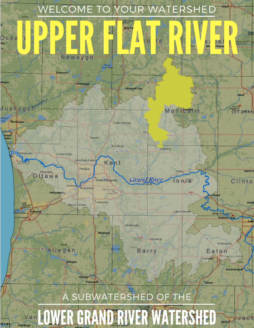
Upper Flat River Watershed - HUC Code: 04050006-0101, -0102, -0103, -0104
Lower Flat River Watershed - HUC Code: 04050006-0204, -0207, -0208, -0209
Size and Location: The Flat River watershed is divided into the Upper and Lower Flat River subwatersheds, and also contains the subwatersheds of Dickerson Creek, Wabasis and Beaver Dam Creek, and Coopers, Clear and Black Creeks. The Upper Flat River Watershed is 138,115 acres in size. and the land usage is 50% agriculture, 20% forest, 6% urban, 15% wetland, 2% lakes, and 7% open land. The Lower Flat River Watershed is 78,873 acres, and the land use is 47% agriculture, 26% forest, 4% lakes, 4% open land, 6% urban, and 13% wetland.
The Flat River Watershed spans 564 square miles in Kent, Montcalm, Ionia, and Mecosta counties and incorporates three major communities (Belding, Greenville, and Lowell). The Flat River Watershed is home to a lively biotic community and viable small mouth bass fishery. Incorporating 150 miles of stream channel, the Flat River and its tributaries are incredibly scenic and beloved for their recreation possibilities.
Read the full subwatershed summary here (Lower) and here (Upper).